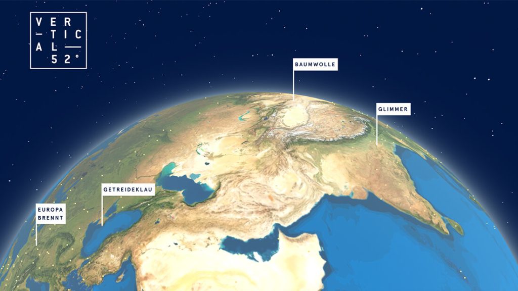
How the MediaTech Hub start-up Vertical52 uses satellite data for journalism
It’s hard to imagine satellite TV, navigation devices, weather forecasts and, of course, the military without them: more than 5,500 satellites are orbiting the Earth in space – including about 500 Earth observation satellites. Space agencies like the ESA or satellite operators like Planet Labs or Maxar Technologies record every bit of the Earth’s terrain – images that can be very valuable for journalistic research. For example, agricultural or military developments can be tracked or whole swathes of land documented over a longer period of time from space. The images are now available in such detail that one can make out human beings in them.
The start-up Vertical52 regards itself as being the first news agency from space and makes high-resolution, commercial satellite data available to journalists, publishers and NGOs. To this end, the two founders, journalist Marcus Pfeil and entrepreneur Michael Anthony, are developing a platform for searching, evaluating and visualising satellite and radar data.
Marcus Pfeil worked as a journalist for more than 20 years and was responsible for award-winning research projects. Michael Anthony, who originally started out as a journalist, had previously worked in the microinsurance business using remote sensing technology on agricultural projects in Africa and Asia. Their business model is based on two pillars. To begin with, they are able to provide high-resolution images from space within 24 hours, but the team itself can also undertake complex analyses and investigative research.
Space-based data
Satellite journalism is still in its infancy, but improved access to data means that this form of forensic evidence is becoming increasingly important. For example, at the start of the Ukraine war, it was possible to track Russian military convoys in real time. And research by the New York Times showed that the massacres of the population in Bucha were the work of the Russian military. Satellite images identified the bodies of Ukrainian civilians lying in the streets. They had already been lying there during the Russian occupation. It’s not only war crimes that can be then shown from such a different perspective – this can also apply to natural phenomena such as flooding, deforestation and the growing impact of drought on forests.
Much of this kind of data is theoretically freely accessible via agencies and providers, but it’s not easy in practice for everyone to make use of. The Vertical52 platform processes image requests automatically. It sees itself as being a curator, co-founder Marcus Pfeil says. “The satellite data allows us to look into the future. If you want to observe something over a longer period of time, we can set up tasking – such as observing an Amazon warehouse every 14 days,” Pfeil explains.
Research from above: forced labour in cotton production
One example saw Vertical52 supporting NDR on its report about cotton and forced labour. There was suspicion from the start that the cotton in the fields of Xinjiang was being hand-harvested by Uyghur forced labourers – and not by machines as the Chinese government was claiming. Most of the exported Chinese cotton comes from this region in western China. And this is also the location of many of the labour camps where ethnic minorities like the Uyghurs are being oppressed. Vertical52 compared the photographs of the cotton fields with reference objects in Kyrgyzstan and followed the crop rotations: what does cotton look like from above? When does it flower? When is it harvested? The White Wall Index, an index from agriculture, was also used. This meant that the cotton fields could be precisely identified in the photographs of the western Chinese region, – and, in the next step, the fields harvested by hand could be distinguished from those harvested by machine based on the surface structure. A method that could be scaled up to large areas, according to Pfeil. “If a research field is new territory for us, we seek scientific advice to make sure that we are evaluating in a clean, correct and valid manner,” he says. The research data proved here: about 96 per cent of cotton production in the region is based on harvesting by hand. So, the probability that we in Germany are wearing a T-shirt produced with cotton from forced labour is very high.
The image data is also an important research tool for NGOs. Vertical52 collaborated with Terre des Hommes to investigate the extent of child labour in illegal mica mines in India. Children as young as four are digging In disused, illegally operated and thus unsecured mines for the much sought-after material – and are often buried. Based on satellite and radar data, the investigation showed that the supposedly abandoned mines in Jharkhand of eastern India had been expanding over recent years.
Vertical52 is now planning a third pillar for the future: a foundation-based fellowship programme will support journalists in countries with limited press freedom by providing assistance and knowledge transfer. . Smaller local newsrooms with limited budgets could thus gain access to satellite data-based research. Because the high-resolution images from space need experienced translators to bring the stories back down to earth.
Vertical52 will soon officially become part of the MediaTech Hub. The company was selected beforehand for MIZ Babelsberg’s Media Founders Programme which is organised in cooperation with the MTH Accelerator.
Image Credit: Vertical54

